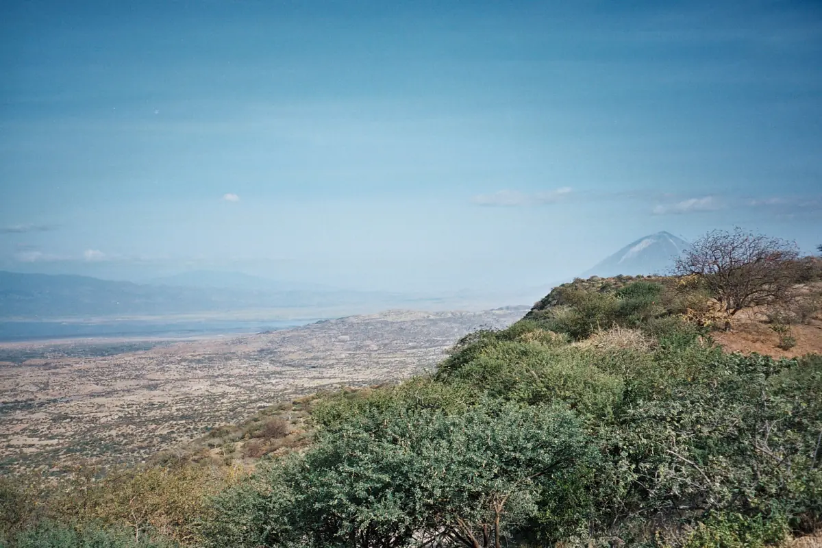
Ol Doinyo Lengai at a glance
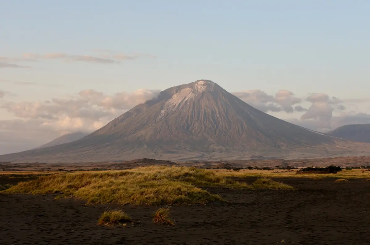
Ol Doinyo Lengai is a volcano in northern Tanzania, just south of Lake Natron in the Gregory Rift, part of the eastern branch of the East African Rift. It is a steep cone that dominates the skyline at the south end of the lake, and it is one of the main sights of the whole area.
You can admire it from the lake shore, or you can climb it with a local guide. The climb is a serious night effort and has its own page: see our guide to the Ol Doinyo Lengai climb. For safaris and walks that fit around it, start with Lake Natron tours and safaris.
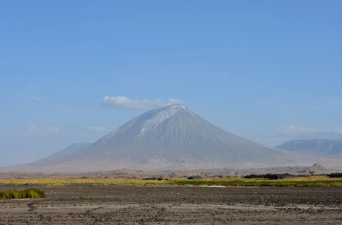
The Maasai Mountain of God
In the Maasai language the mountain is called Ol Doinyo Lengai, which means Mountain of God. Maasai communities live on the plains around the lake, and local Maasai guides lead the walks to the waterfall, along the lake shore and up the volcano. Treat the name with the respect it carries. A guide from the area can tell you far more about what the mountain means to the people here than any guidebook can.
For Maasai life in the highlands further west, see Maasai culture around Ngorongoro.
Our pick: a safari with a Lengai night ascent
Five days in the north that include the night ascent of Ol Doinyo Lengai when the volcano's seismic conditions allow.
Hand-picked tours, booked through GetYourGuide. Prices are indicative starting prices in US dollars (as of October 2026). Tap a tour for live availability and the current price in your currency.
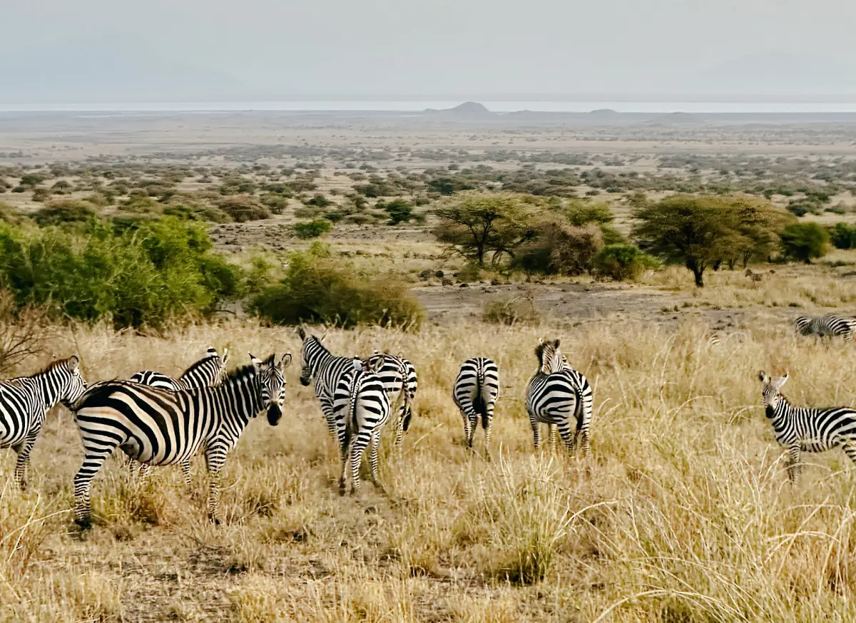
Lake Natron tours and Ol Doinyo Lengai climbs
Safaris, lake and waterfall walks and guided volcano climbs in northern Tanzania, with live prices and availability.
A lava unlike any other
Most volcanoes erupt silicate lava. Ol Doinyo Lengai is the only volcano where the eruption of carbonatite ash and natrocarbonatite lava has been observed. That unusual chemistry is the characteristic feature of the mountain.
The same region's volcanic carbonates also shape the soda chemistry of Lake Natron below. That is the reason for the lake's salt crust and its odd colours, which we explain on the page about the petrified animals and the red water.
It is not the only active volcano in Africa, as you will sometimes read. What is special is the lava, not the activity.
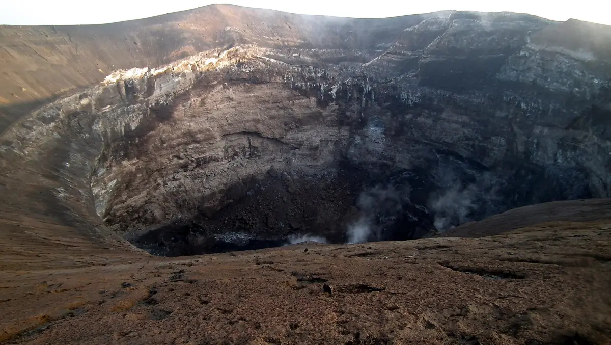
Is Ol Doinyo Lengai active?
Yes, it is not an extinct volcano.
The 2007 to 2008 eruptions
An explosive phase in 2007 and 2008 produced ash and changed the shape of the crater. Pictures from before that time do not show the summit as it looks now.
An eruptive period since 2017
A period of eruptions that began in April 2017 was still continuing in March 2026. So the volcano did not fall silent after 2008.
What it means for you
Conditions at the crater rim change, and an old photo is no guide to current access. Ask your camp or guide about the situation before you book, and expect the guide to decide on the day whether the group goes up.
The crater through time
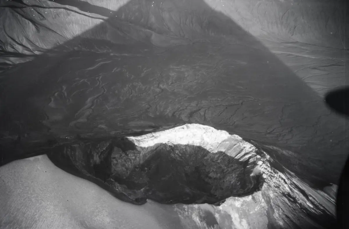
Aerial photographs of the volcano from 1929 and 1930 survive and document how the cone and crater looked then. The crater has changed shape since, which is why a description from an old trip report may not match what a guide finds today.
The black and white image here is a historic aerial view of the crater from 1929.
How to see the volcano
Three ways, from easy to demanding.
From the lake shore
On clear days the cone is a constant landmark from the south end of the lake, where the camps near Ngare Sero sit. A guided walk along the soda flats at sunrise or sunset gives good light and avoids the midday heat.
Camping and lodges →From the waterfall valley
The stream walk to the Engare Sero waterfall is a separate outing in the same area. The whole outing takes 2–3 hours.
Engare Sero waterfall →On the mountain
The climb is a night ascent with a local guide. A typical start is around 1 a.m., and the total outing takes 12–14 hours. It is not part of the normal local activity package and is booked separately. The summit is not guaranteed.
Climb guide →Plan the rest of your visit
The volcano is one of several reasons to come.
Climbing Ol Doinyo Lengai
The night ascent, guides and what to expect.
The flamingos of Lake Natron
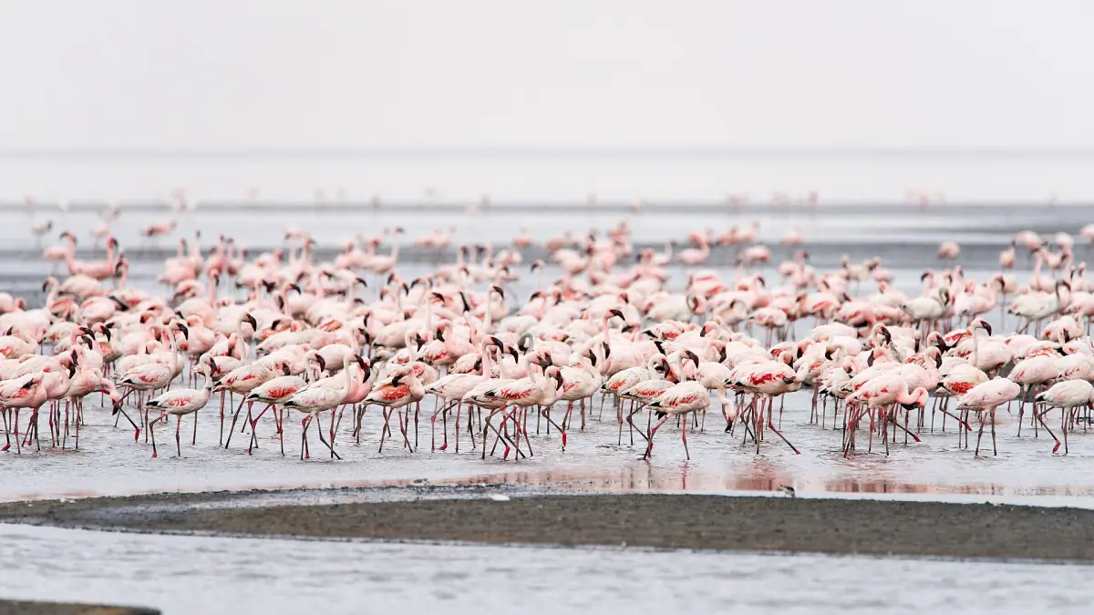
Lesser flamingos and the breeding area.

From Arusha to Lake Natron
Routes, travel times and the airstrip.
Many travellers combine Lake Natron with a safari further west. For that leg, see the Serengeti.
Ol Doinyo Lengai: frequently asked questions
How high is Ol Doinyo Lengai?
2,962 m above sea level. That is the height of the summit, not the climbing distance from where you start, which is much shorter.
What does Ol Doinyo Lengai mean?
In the Maasai language it means Mountain of God.
Is Ol Doinyo Lengai still erupting?
It is not extinct. An explosive phase in 2007 and 2008 was followed by an eruptive period that began in April 2017 and was still continuing in March 2026. Ask your guide about current conditions before you go.
Why is the lava so unusual?
It is carbonatite lava, rich in sodium carbonate. This is the only volcano where the eruption of carbonatite ash and lava has been observed.
Can I climb it?
Yes, with a local guide, on a night ascent. The summit is not guaranteed, because the guide decides on the day depending on the weather and the conditions. See the climb guide for the timing and the fees.
Is this an official site?
No. This is an independent travel guide to Lake Natron and its surroundings, written for visitors. It is not run by any park, village or tour operator.